Outdoor activities search category

· 2 min read
Yulia Musaeva
Product Manager at Guru Maps

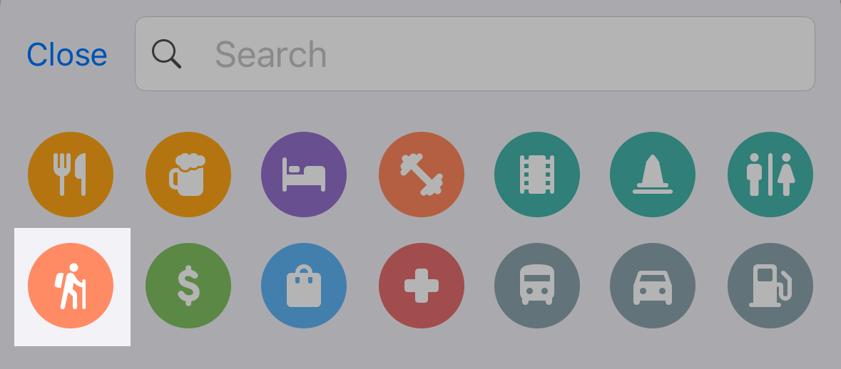
We’re excited to announce a new search category designed to make your outdoor adventures easier and more organized! Our new outdoor activities quick search category is now live, allowing you to find outdoor spots like camping sites, caravan areas, fishing locations, picnic sites and tables, water sources, shelters, and alpine huts—all with just a few taps!

Outdoor search camping

Map tilt support in Guru Maps

· 2 min read
Yulia Musaeva
Product Manager at Guru Maps

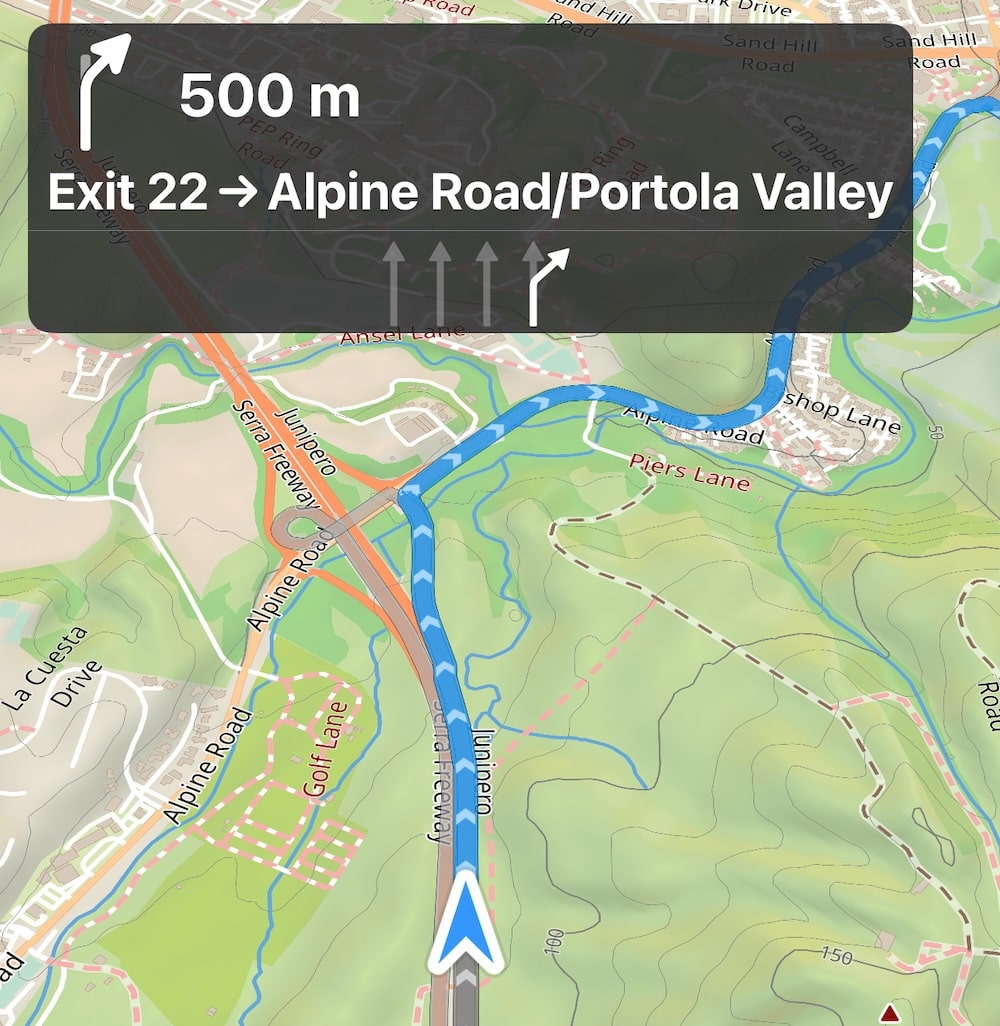
We're excited to announce a new feature in Guru Maps for iOS and Android starting with version 5.6.0 - the ability to change the map’s tilt.

When following directions, a tilted map perspective can be more intuitive than the traditional overhead view. This perspective simulates what a traveler sees when looking at the road ahead, making navigation more user-friendly and realistic.

Precipitation intensity map overlay

· 2 min read
Yulia Musaeva
Product Manager at Guru Maps

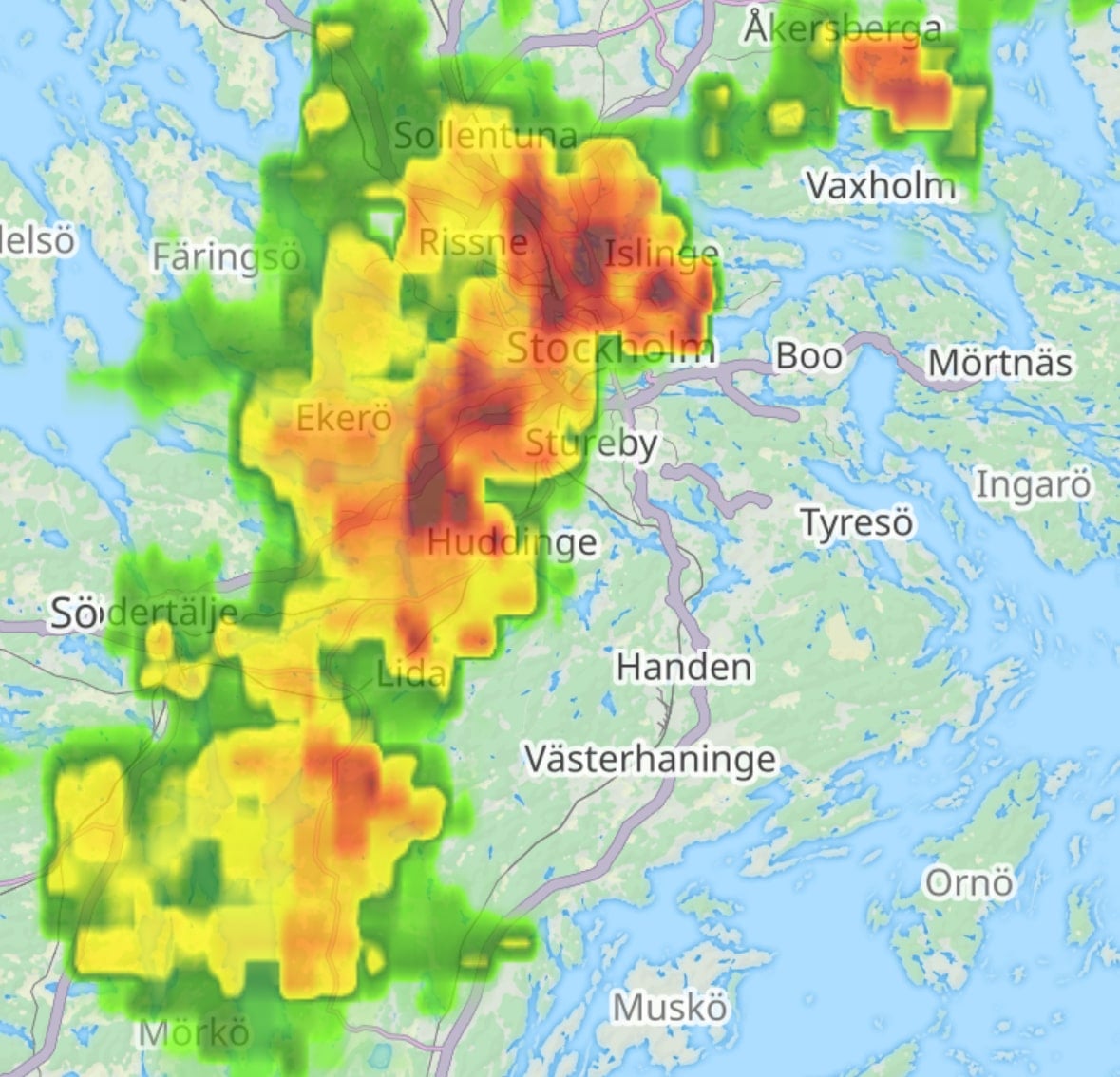
We're thrilled to announce the new real-time weather map layer that shows the Precipitation Intensity within the Guru Maps app. Whether you're hiking through the mountains, cycling across town, or motorcycling down scenic routes, staying informed about precipitation intensity can significantly impact your safety, visibility, and overall experience.

Why precipitation intensity matters

Weather conditions are a critical factor to consider when planning any outdoor route. Understanding the instantaneous precipitation rate at ground level can help you make informed decisions about whether to start your journey or when to take breaks.

Precipitation Intensity Map Overlay

Trimming a GPS track

· One min read
Yulia Musaeva
Product Manager at Guru Maps

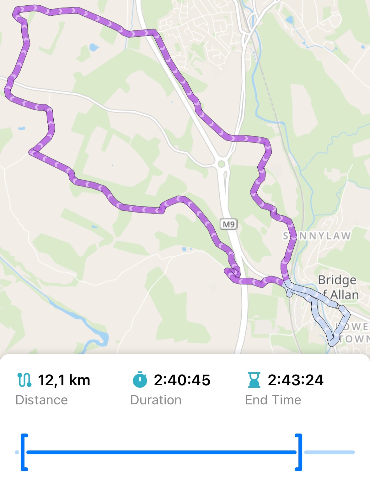
Sometimes when you're recording a GPS track in Guru Maps, you might accidentally leave recording running or start it too early. Now you can trim the track from its beginning or end using the Trim Track feature.

Trim track within the Guru Maps app

Quick places

· 2 min read
Yulia Musaeva
Product Manager at Guru Maps

Guru Maps includes countless objects, roads, and points of interest. With so many locations marked, it's easy to overlook the places you visit most often.

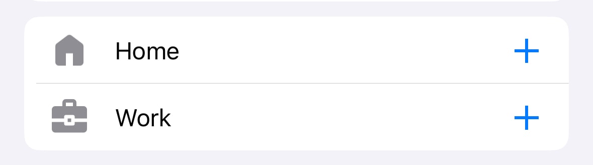
That's where quick places come in handy, allowing you to save your Home and Work locations permanently and get directions in a single tap.

Default Home and Work Quick Places in Guru Maps

Understanding GPS filtering

· 3 min read
Yulia Musaeva
Product Manager at Guru Maps

While recording a track, the app continuously retrieves data from your device's GPS module, updating the current position on the map in real time — typically every second to produce highly detailed tracks of your activities. The challenge is that sometimes (especially when accuracy is low) the values vary significantly, causing the current position to “jump” between distant points on the map.

The latest mobile phones are highly accurate and can locate your device with a precision of up to three meters, but environmental factors and device settings can still significantly affect accuracy.

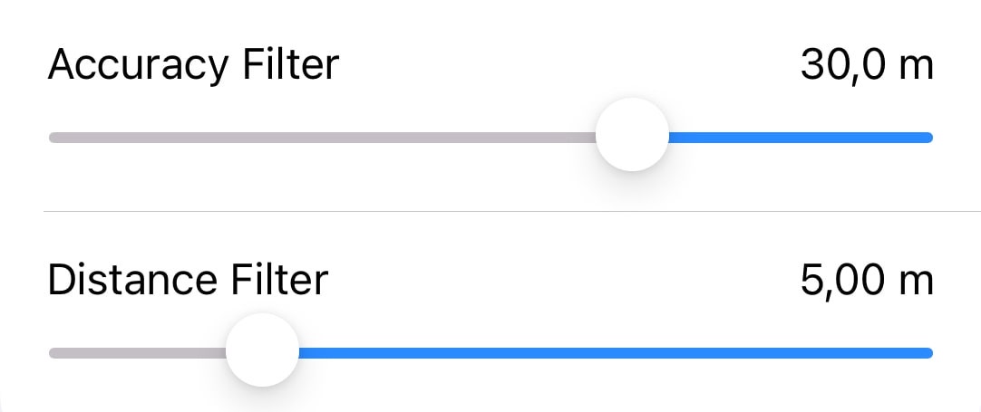
With the GPS filtering feature, Guru Maps users can rely on more accurate and dependable recorded tracks for activities like hiking, cycling, or off-road adventures where precision matters.

GPS filters in Guru Maps application

Analysis and visualization of GPS tracks

· 4 min read
Yulia Musaeva
Product Manager at Guru Maps

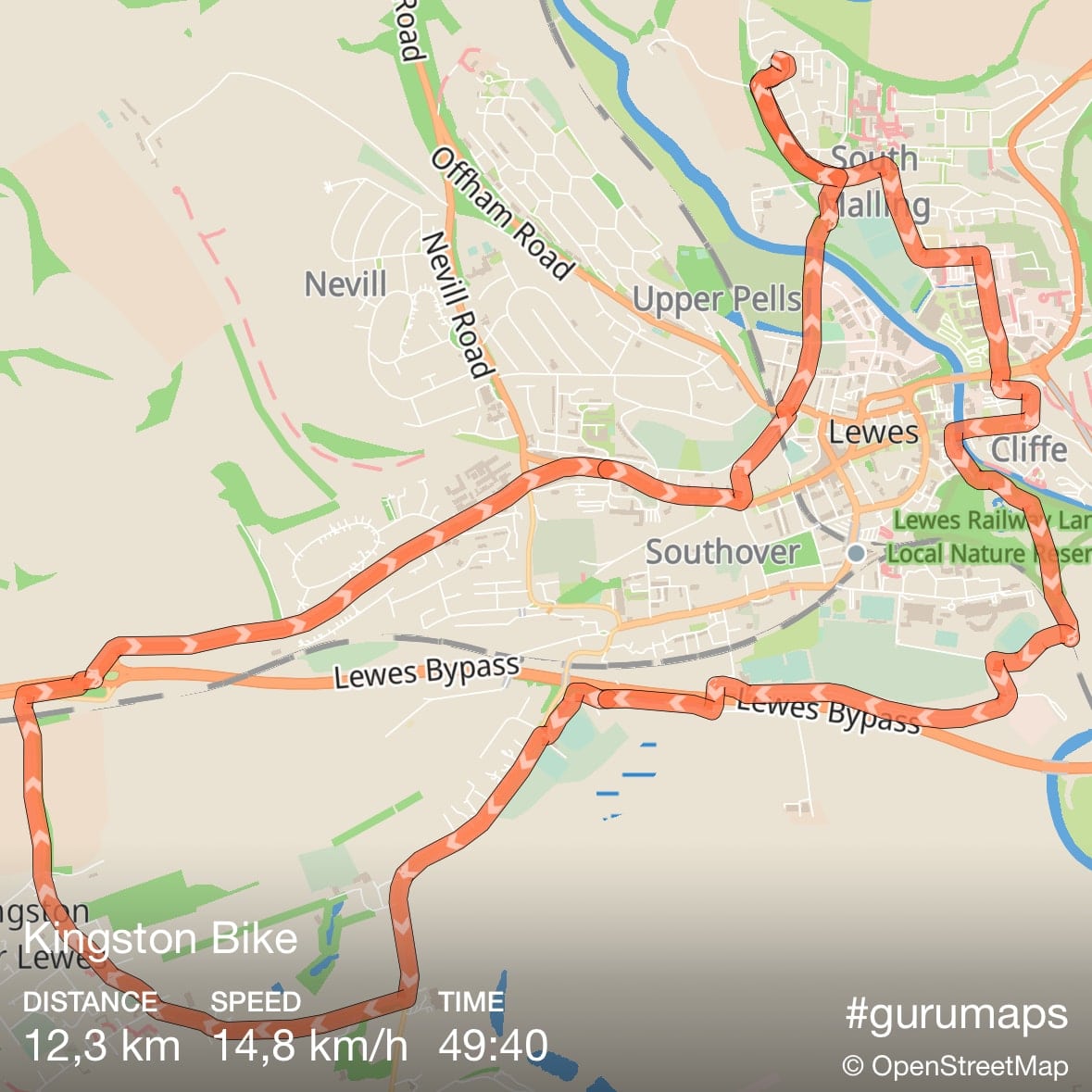
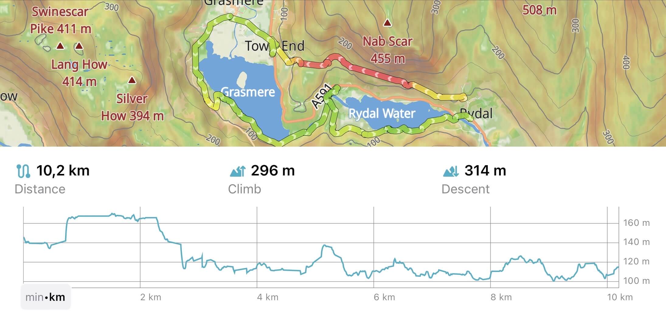
Our team has been hard at work for the last few months, and we are delighted to introduce all-new GPS track analysis and visualization features in Guru Maps, available with v5.4.0.

Whether you are hiking, biking, running, or simply strolling through the great outdoors, these new features empower you to analyze and visualize your activities in Guru Maps like never before.

GPS track recording in Guru Maps

Using MBTiles and SQLiteDB files

· One min read
Yulia Musaeva
Product Manager at Guru Maps

Starting now, importing .mbtiles and .sqlitedb files into Guru Maps is absolutely free for everyone. These formats, which GIS professionals use to create raster maps, are now available to all—from geospatial experts to rescue and firefighting teams.